
| To find links for a specific country, click on its initial letter here: |
|
If you don't find the country name you're looking for here, try the Country cross-reference page.
| Country | Primary | Secondary | Tertiary | Stats  | Postcode | Maps | TZs |
|---|---|---|---|---|---|---|---|
| Bahamas | district | Stats Stats Stats Stats | Map | -05:00 D | |||
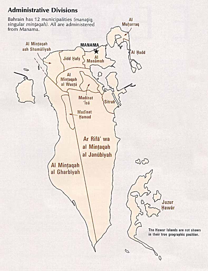
| Bahrain | governorate | Stats Stats Stats Stats | CIA PDF | +03:00 | |||
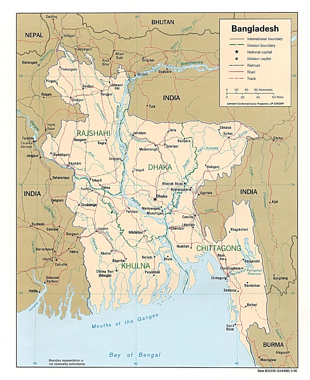
| Bangladesh | division | district | Stats | Post | PDF CIA North South Mgl PDF | +06:00 | |
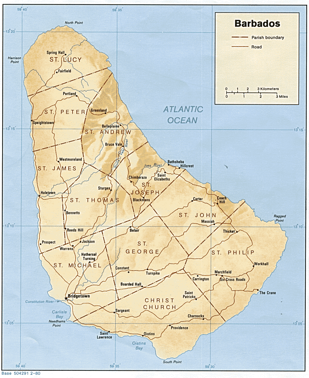
| Barbados | parish | Stats | Post | CIA Map Mgl | -04:00 | ||
| Belarus | region | district | Stats | CIA Map Mgl PDF | +03:00 | ||
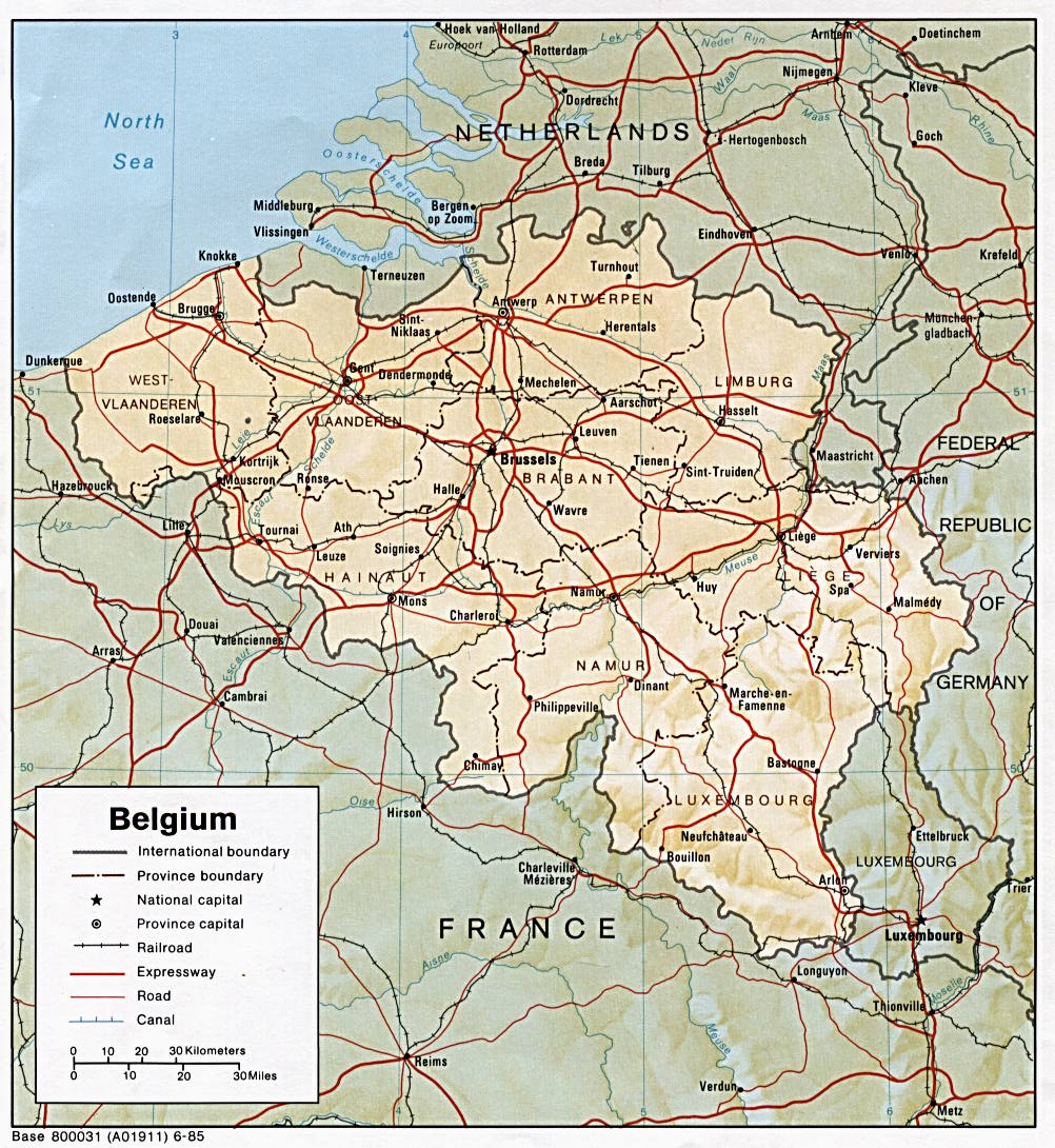
| Belgium | province | arrondissement | Stats Stats Stats | Post | CIA Map Mgl | +01:00 D | |
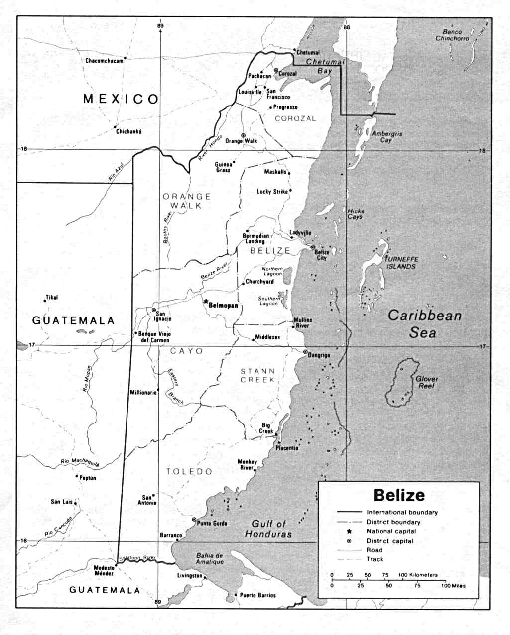
| Belize | district | subdivision | Stats Stats | CIA Map PDF | -06:00 | ||
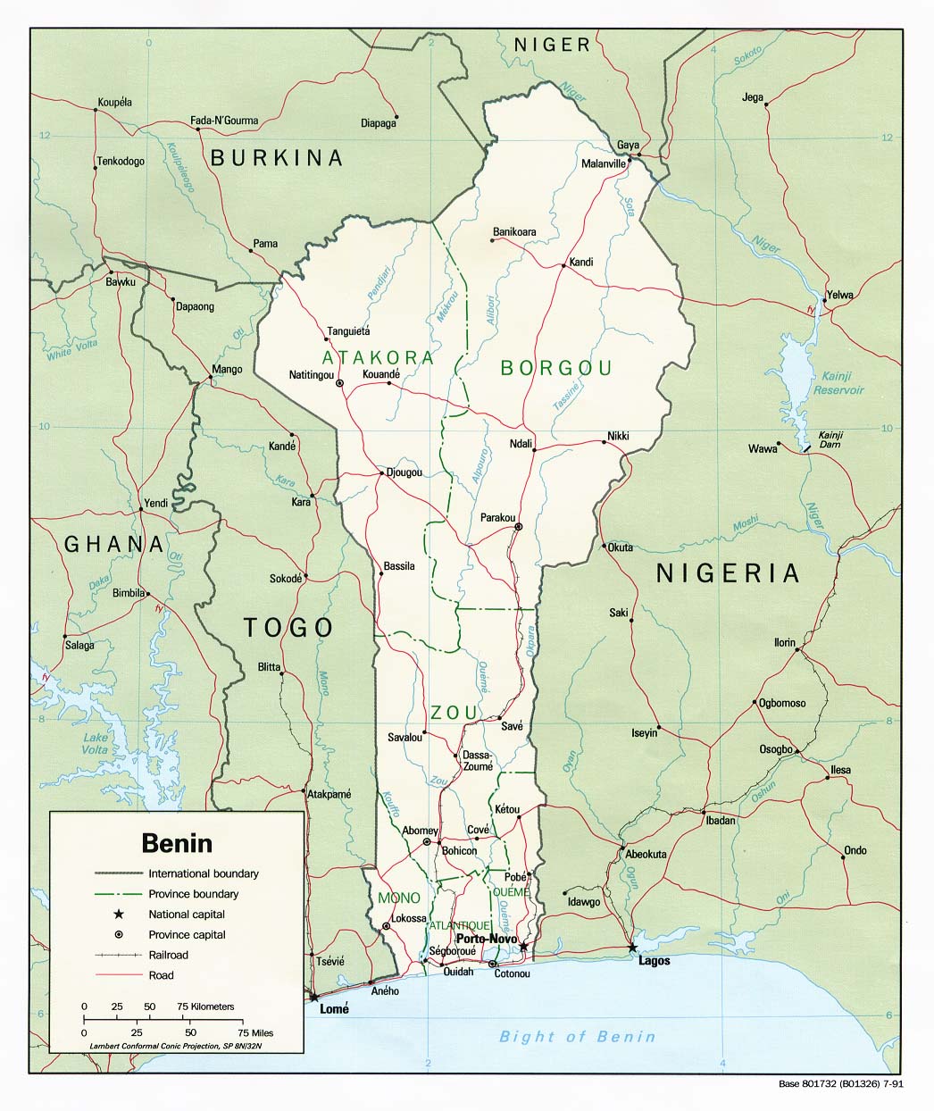
| Benin | department | commune | Stats | CIA Map Mgl PDF | +01:00 | ||
| Bermuda | parish | Stats Stats Stats Stats | Post | Map | -04:00 D | ||
| Bhutan | district | subdistrict | Stats Stats | Clik Custom | +06:00 | ||
| Bolivia | department | province | Stats Stats | PDF CIA Mgl PDF | -04:00 | ||
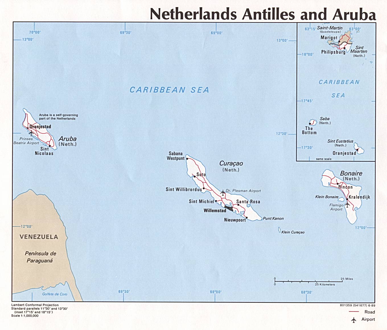
| Bonaire | island region | CIA Map | -04:00 | ||||
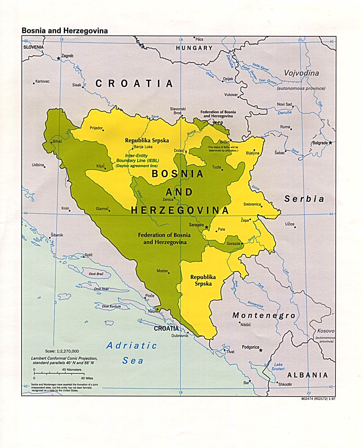
| Bosnia and Herzegovina | entity | commune | Stats Stats Stats Stats Stats | PDF CIA | +01:00 D | ||
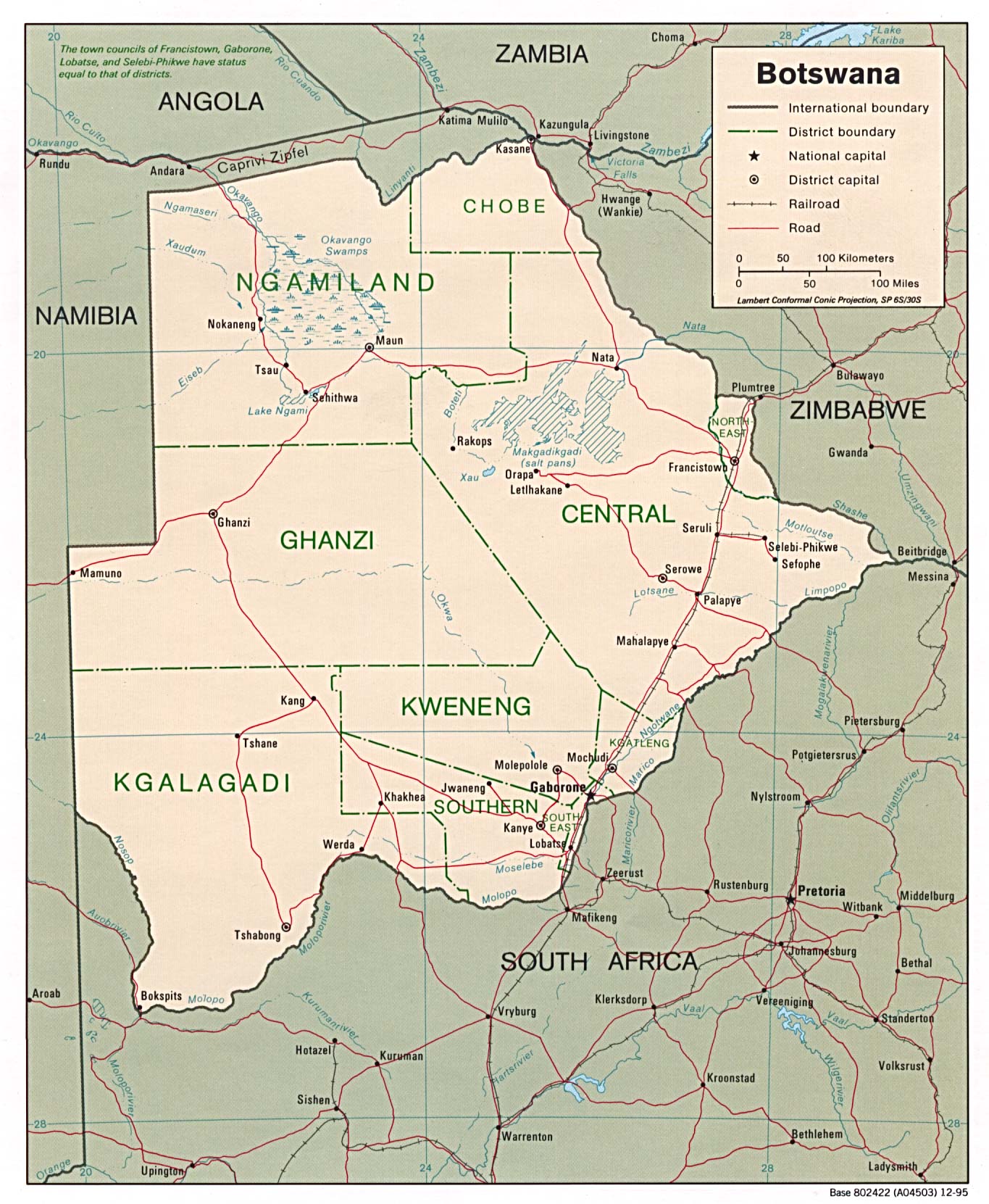
| Botswana | district | sub-district | Stats | CIA Mgl | +02:00 | ||
| Bouvet Island | none | ||||||
| Brazil | state | microregion | Stats Stats Stats | Post | CIA Map Mgl PDF | Zones D | |
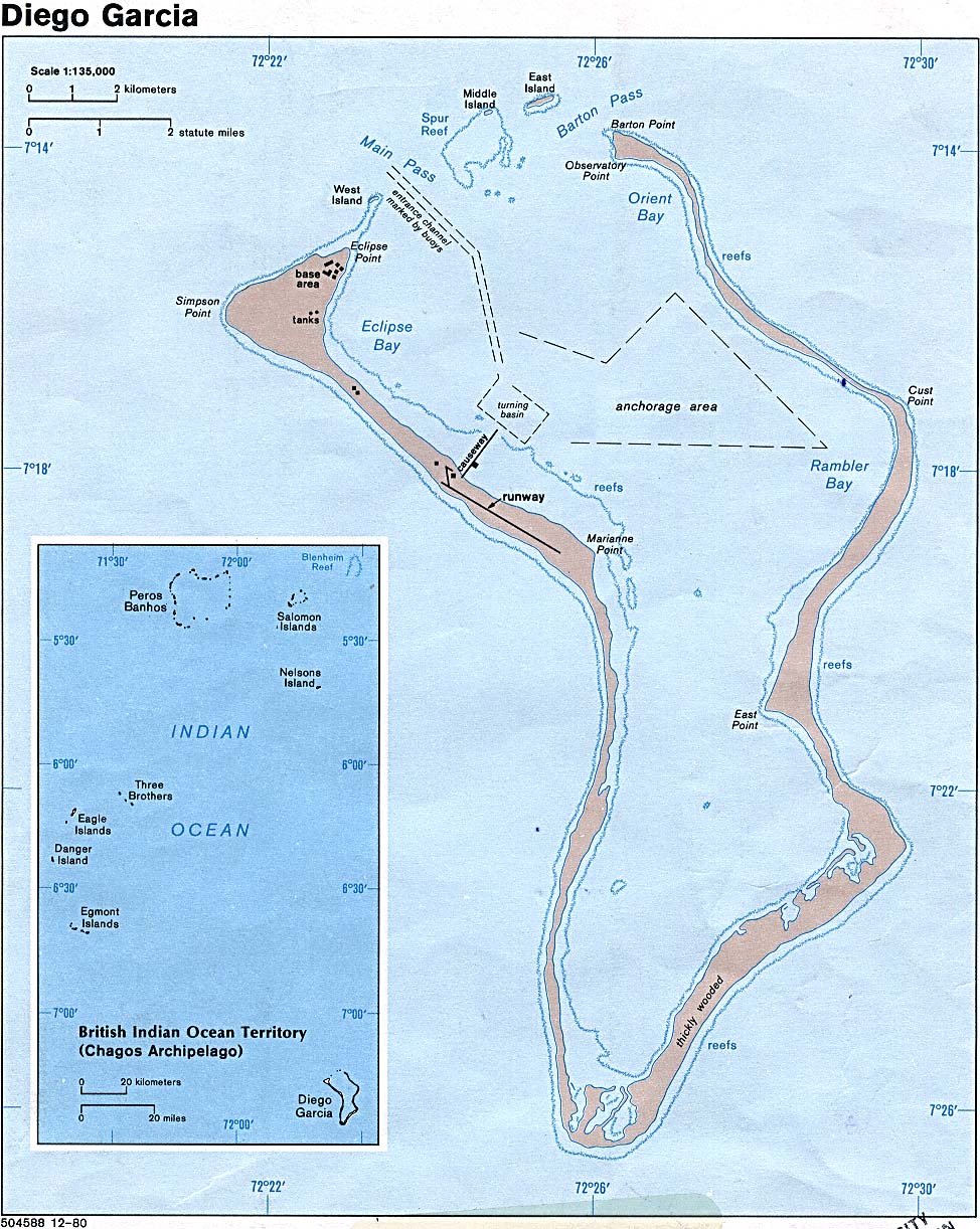
| British Indian Ocean Territory | none | Map | +06:00 | ||||
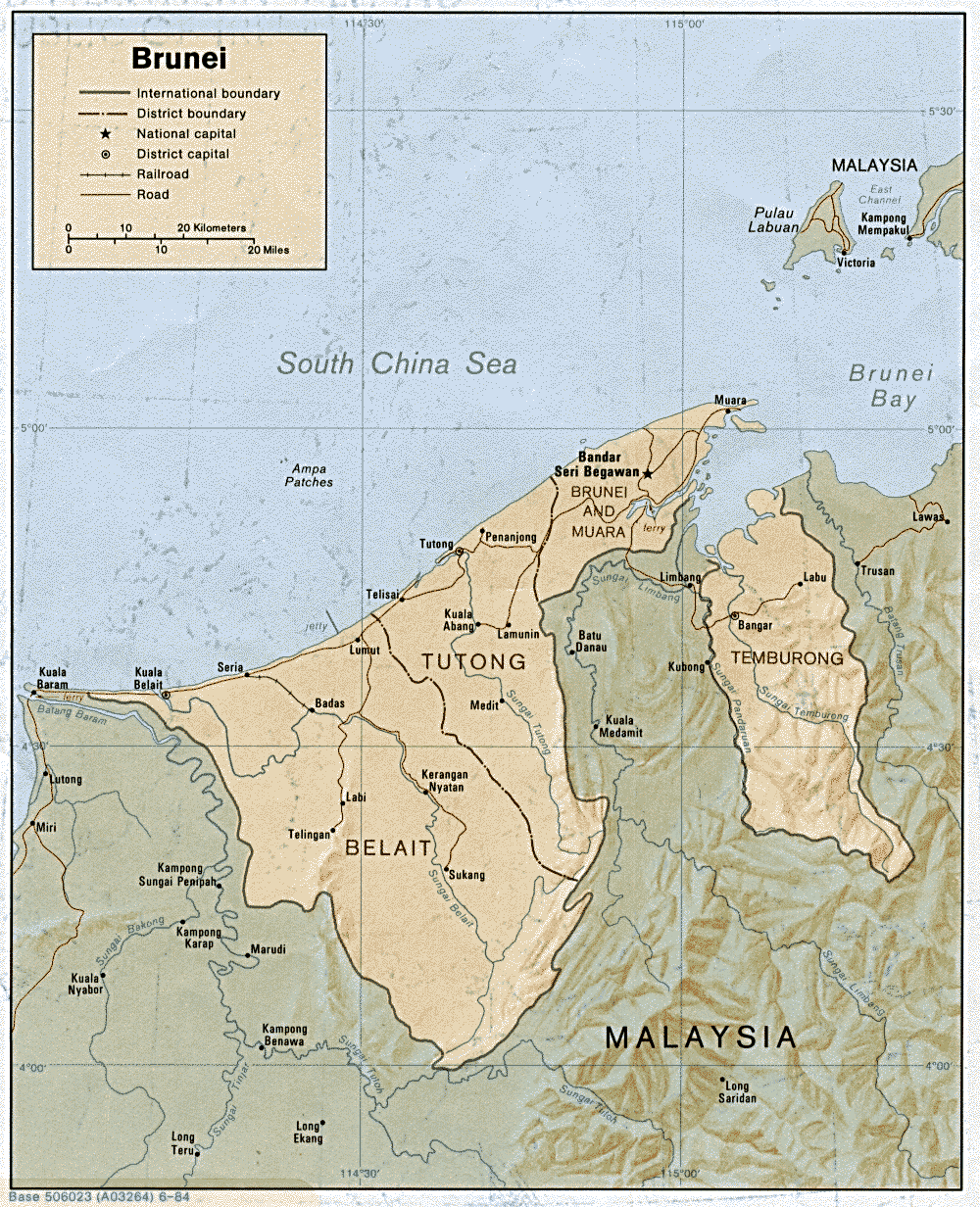
| Brunei Darussalam | district | mukim | Stats Stats | CIA Mgl | +08:00 | ||
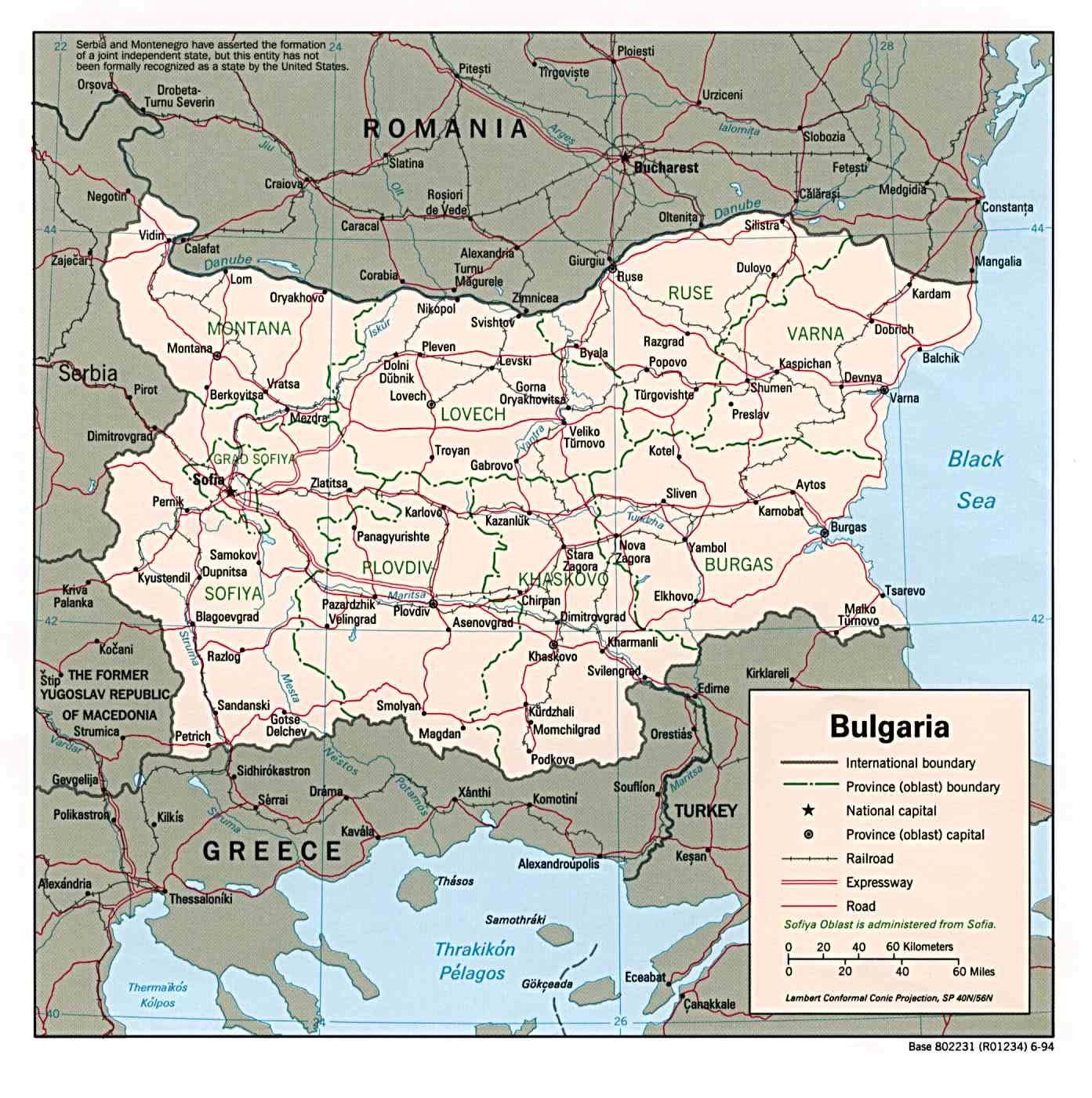
| Bulgaria | region | municipality | Stats Stats | Post | CIA Clik Clik Mgl | +02:00 D | |
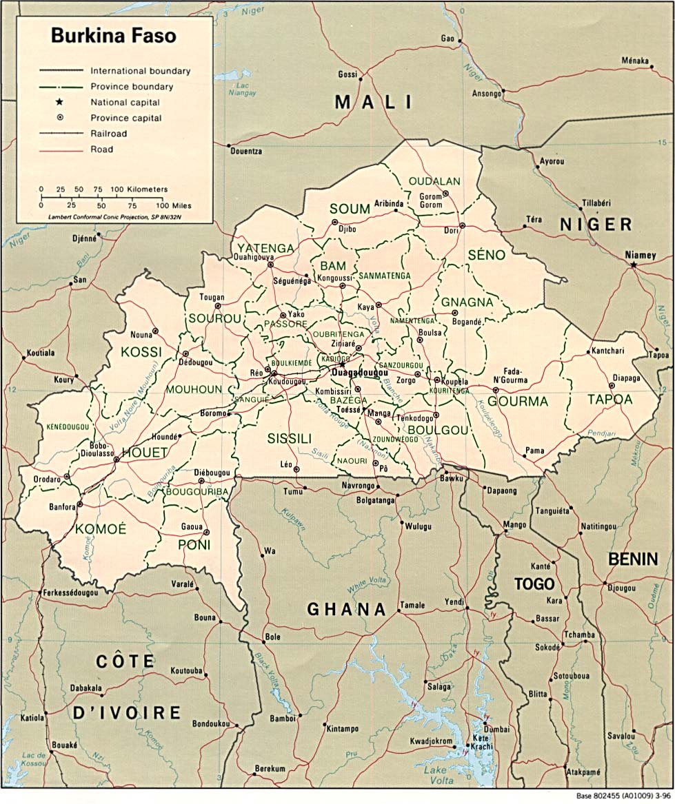
| Burkina Faso | region | province | department | Stats Stats PDF | CIA Map Mgl PDF | 00:00 | |
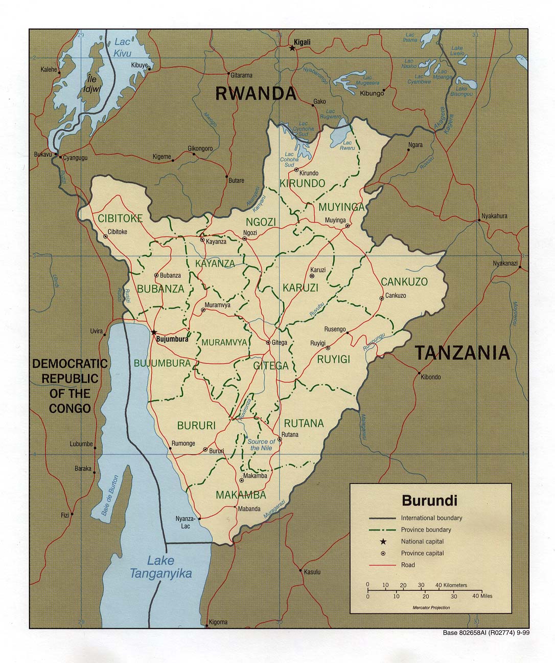
| Burundi | province | commune | CIA PDF | +02:00 | |||
| |||||||
| To find links for another country, click on its initial letter here: |
|
| To find out which pages on this site have recently been updated, visit the newsletter page. |
Make a joyful noise unto the Lord, all the earth. - Ps. xcviii:4a.
| Back to main statoids page | Contact me |
| Copyright © 1999-2015 by Gwillim Law. | |