
| To find links for a specific country, click on its initial letter here: |
|
If you don't find the country name you're looking for here, try the Country cross-reference page.
| Country | Primary | Secondary | Tertiary | Stats  | Postcode | Maps | TZs |
|---|---|---|---|---|---|---|---|
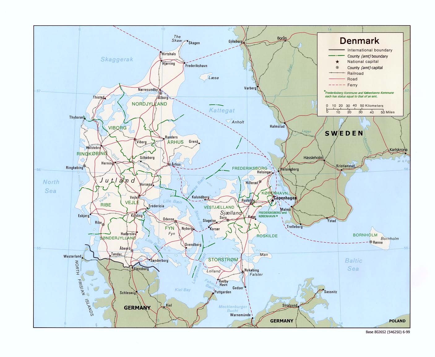
| Denmark | region | municipality | Stats Stats Stats | Post Post | CIA Mgl | +01:00 D | |
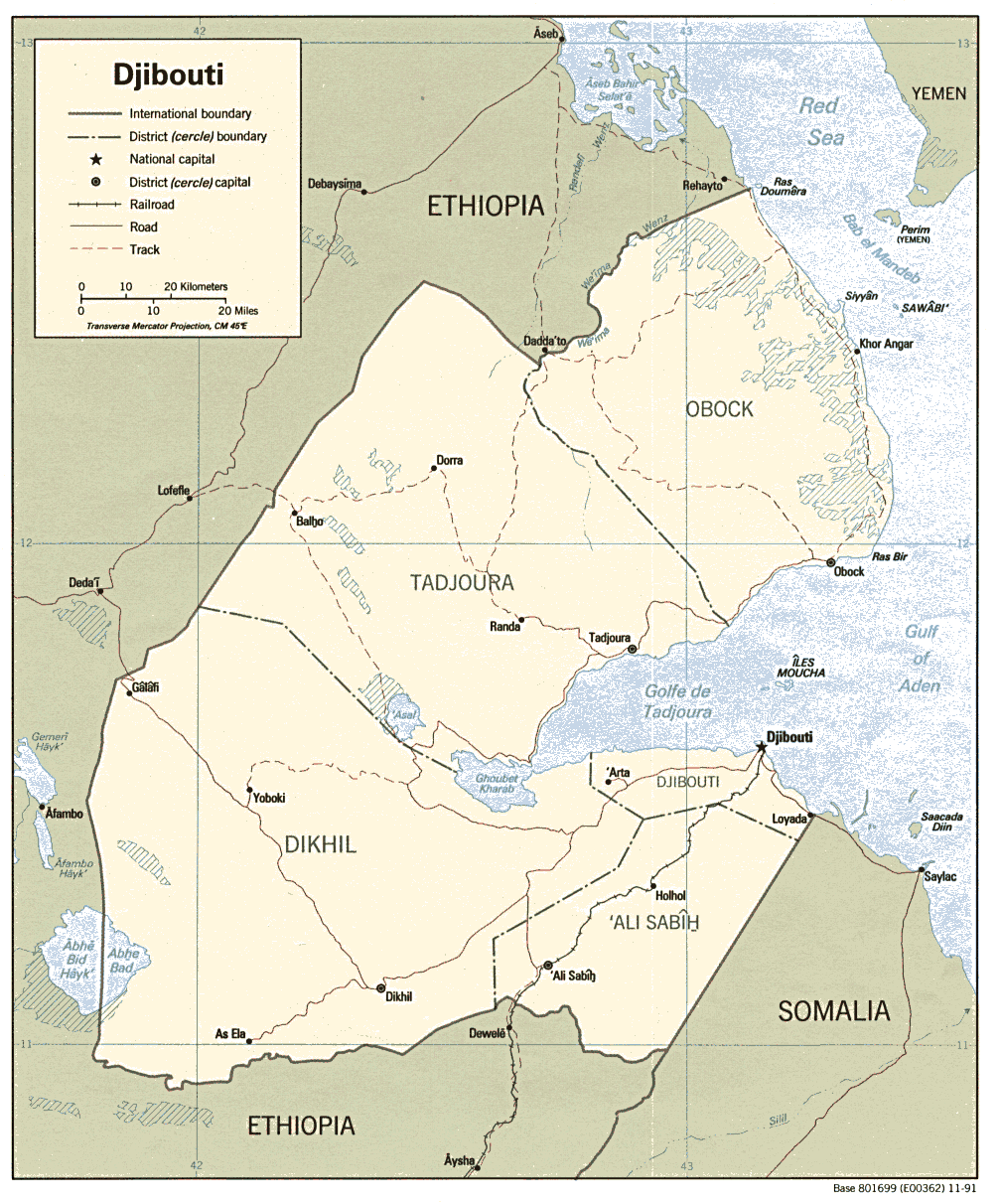
| Djibouti | region | commune | Stats Stats Stats | CIA Map Mgl | +03:00 | ||
| Dominica | parish | CIA Map Mgl | -04:00 | ||||
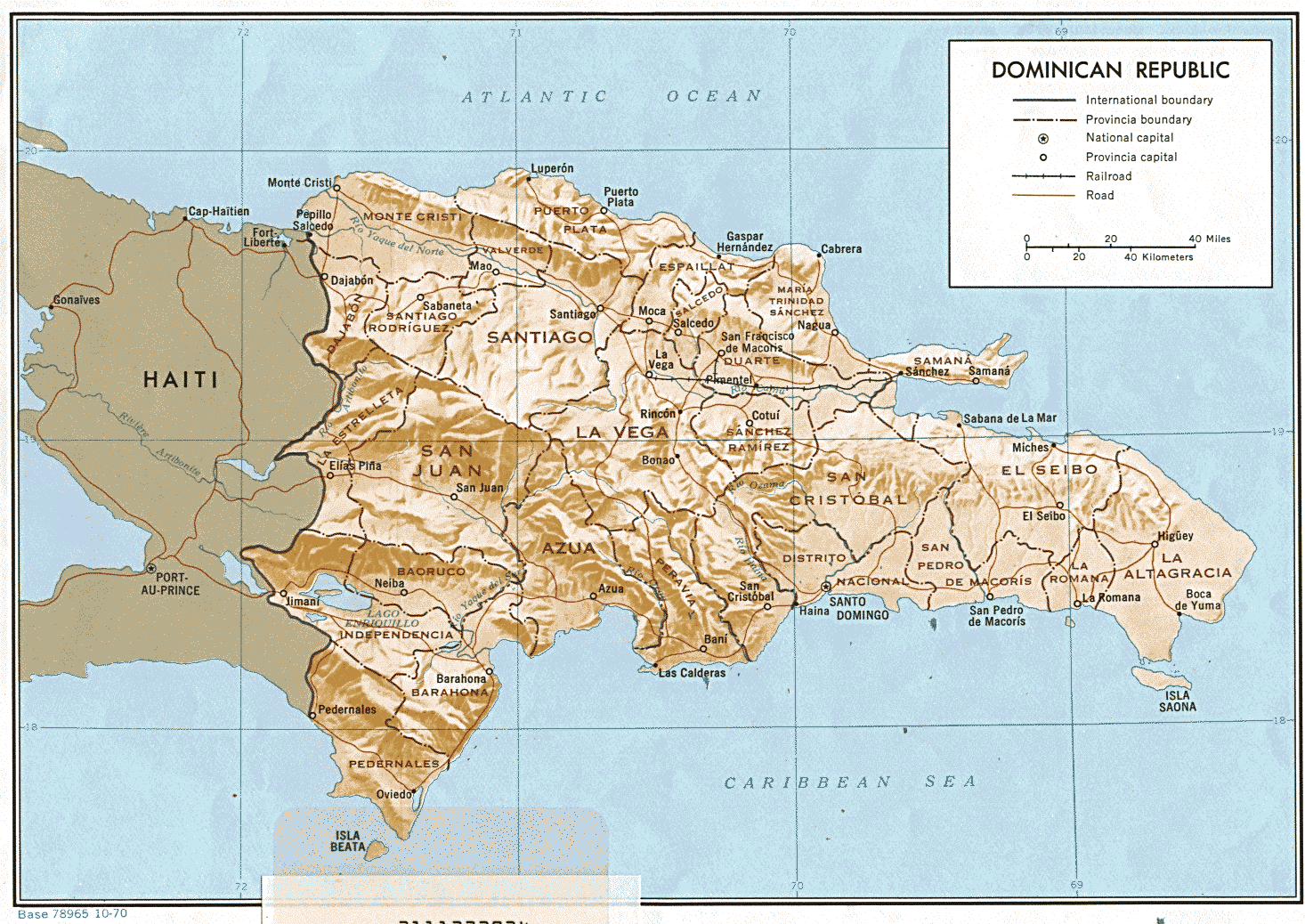
| Dominican Republic | province | municipality | Stats Stats Stats | Post | CIA Map Mgl PDF | -04:00 | |
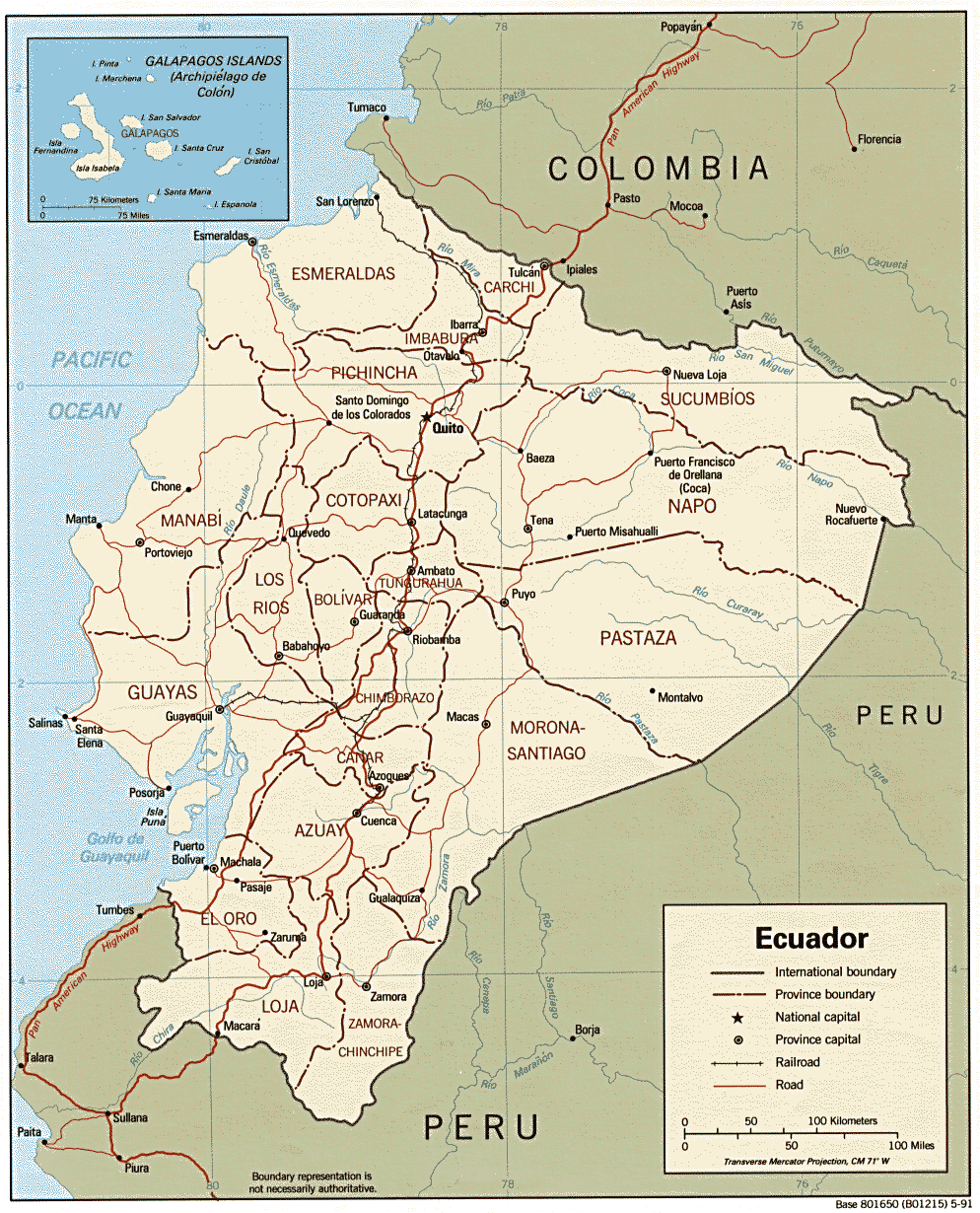
| Ecuador | province | canton | Stats | CIA Mgl PDF PDF | Zones | ||
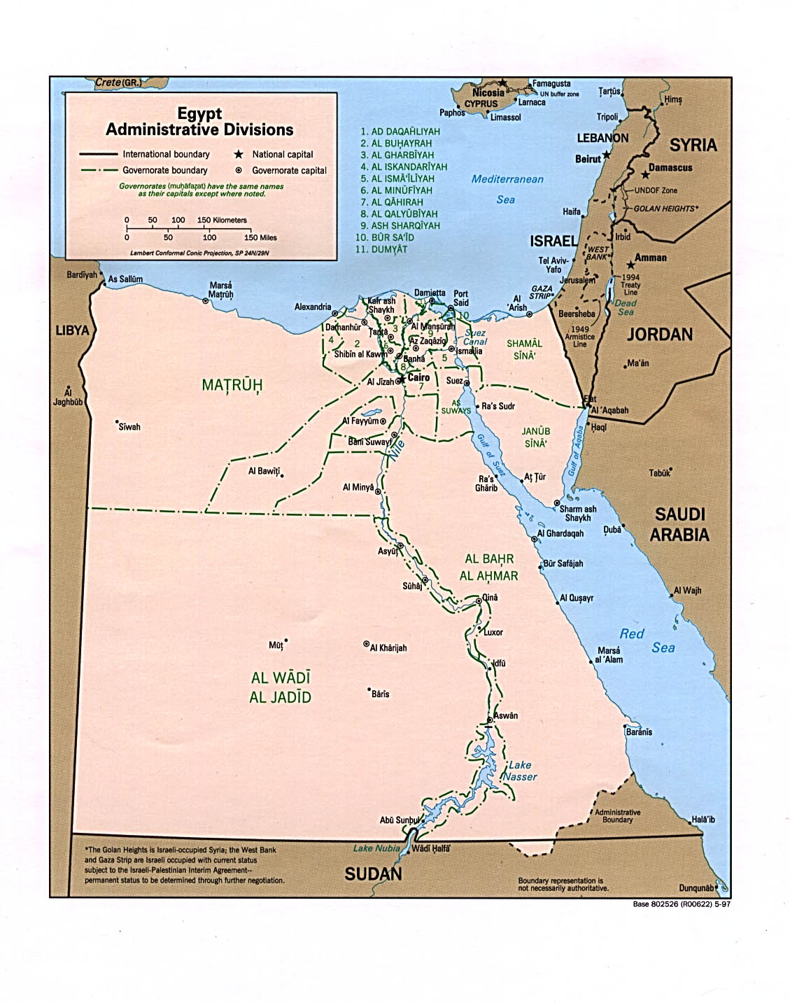
| Egypt | governorate | markaz | Stats Stats Stats Stats Stats | CIA Mgl PDF | +02:00 D | ||
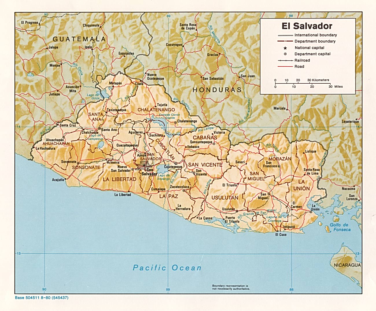
| El Salvador | department | municipio | Stats Stats Stats | CIA Mgl PDF PDF | -06:00 | ||
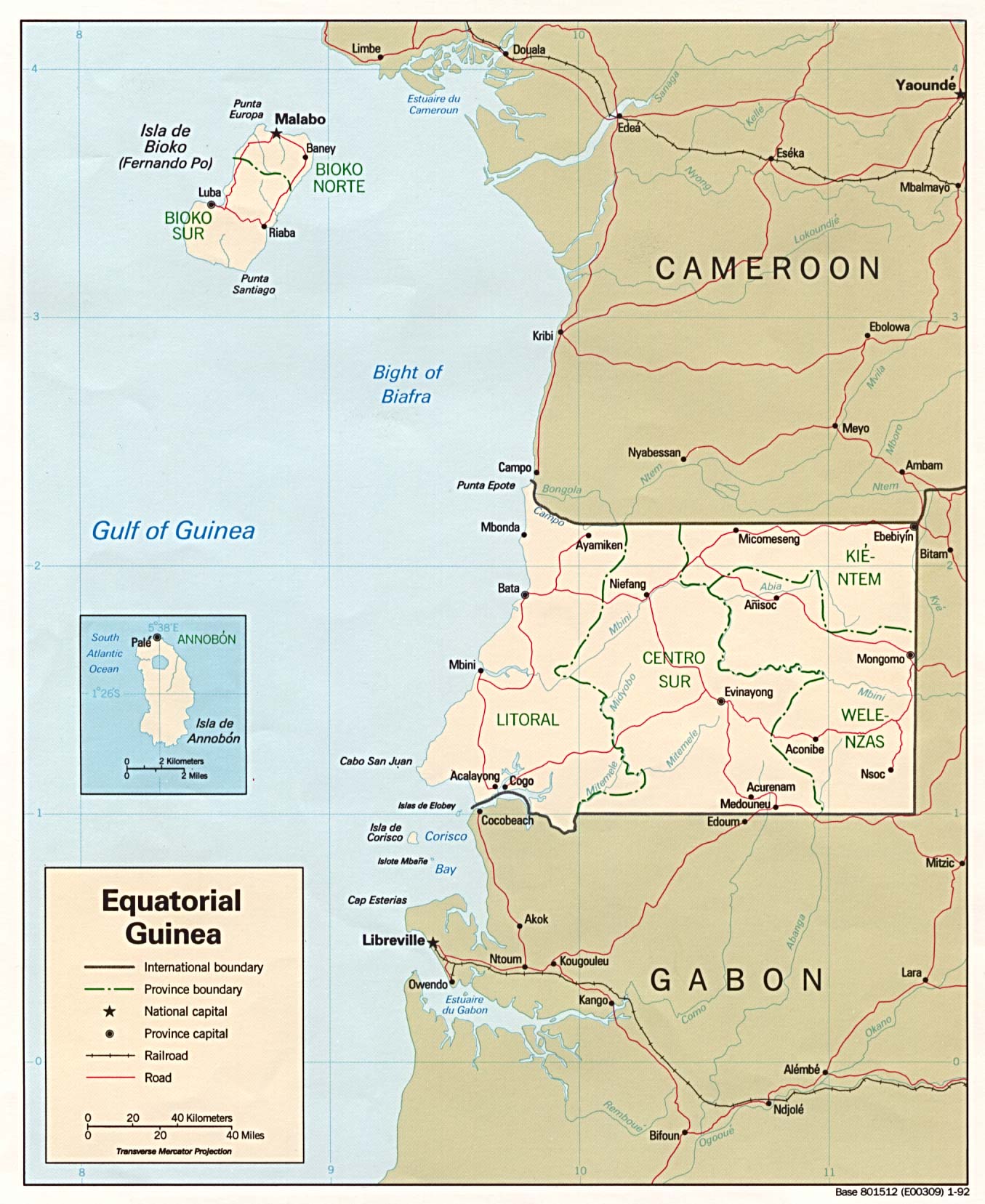
| Equatorial Guinea | province | district | Stats Stats | CIA Map Mgl PDF | +01:00 | ||
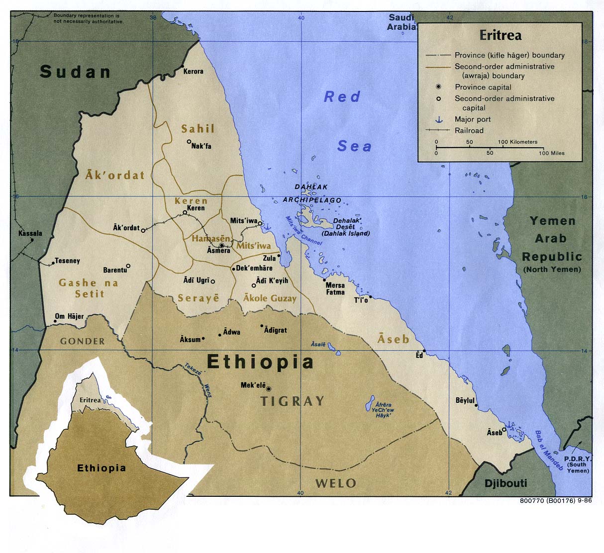
| Eritrea | region | subregion | CIA HCR Map Map Mgl PDF | +03:00 | |||
| Estonia | county | municipality | Stats Stats Stats | Post | Atlas CIA Map | +02:00 D | |
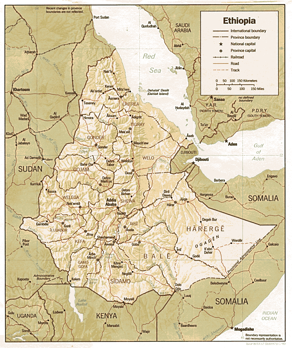
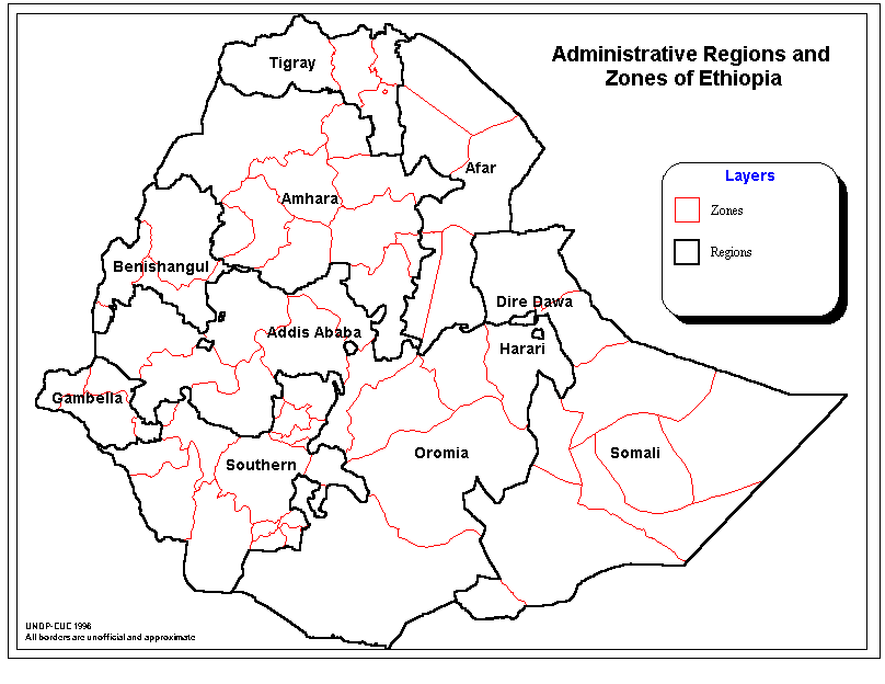
| Ethiopia | state | zone | Stats Stats Stats | CIA Map Map Map Map Mgl PDF | +03:00 | ||
| Falkland Islands | none | Stats | Mgl | -03:00 | |||
| Faroe Islands | region | commune | Stats Stats Stats | Post | 00:00 D | ||
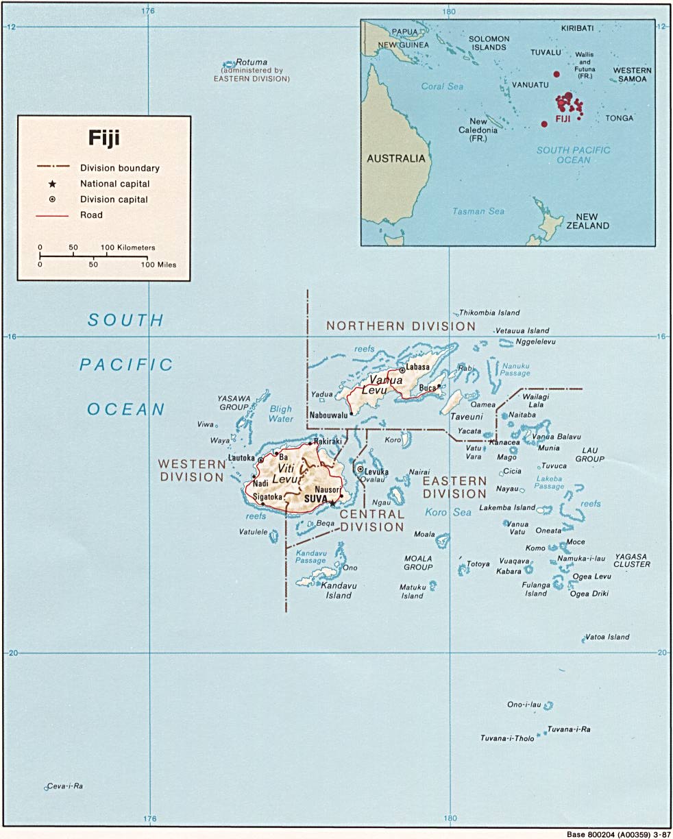
| Fiji | division | province | Stats Stats | CIA Mgl | +12:00 D | ||
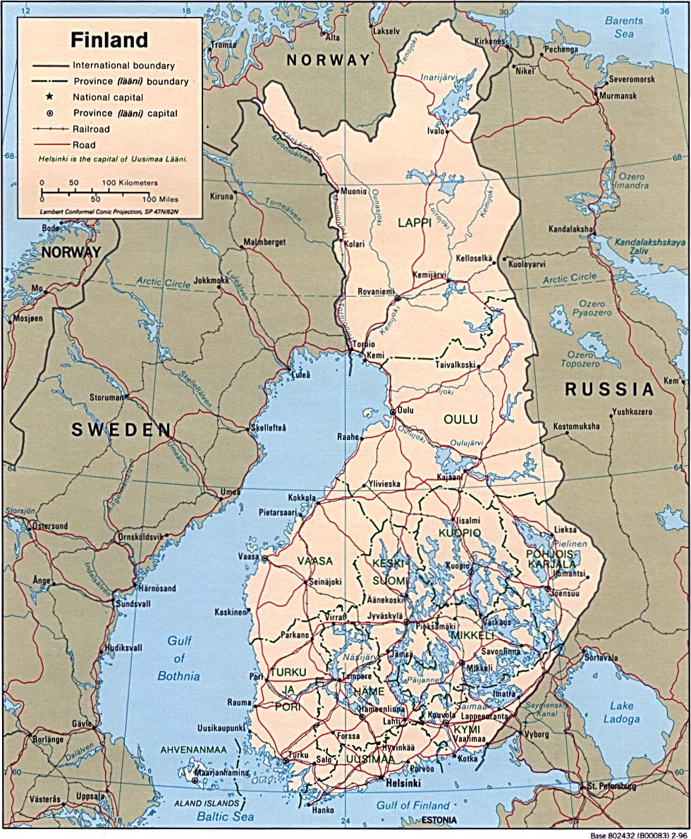
| Finland | region | sub-region | Stats Stats Stats Stats Stats Stats Stats | Post | Atlas CIA Map Mgl | +02:00 D | |
| France | region | department | arrondissement | Stats Stats Stats Stats Stats Stats Stats PDF Stats Stats | Clik Map Mgl PDF | +01:00 D | |
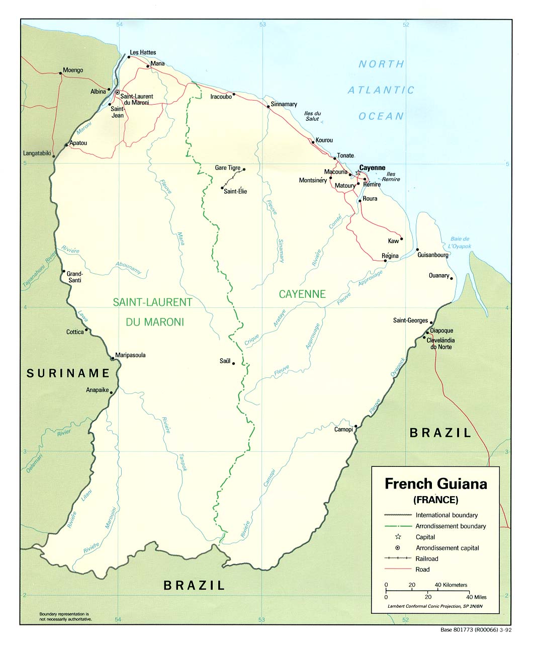
| French Guiana | arrondissement | commune | Stats | CIA Map Mgl PDF | -03:00 | ||
| French Polynesia | subdivision | commune | Stats Stats | Post | CIA Map Mgl | Zones | |
| French Southern Territories | district | Map | +05:00 | ||||
| |||||||
| To find links for another country, click on its initial letter here: |
|
| To find out which pages on this site have recently been updated, visit the newsletter page. |
The earth is full of the goodness of the Lord. - Ps. xxxiii:5b.
| Back to main statoids page | Contact me |
| Copyright © 1999-2016 by Gwillim Law. | |
.gif)