
| To find links for a specific country, click on its initial letter here: |
|
If you don't find the country name you're looking for here, try the Country cross-reference page.
| Country | Primary | Secondary | Tertiary | Stats  | Postcode | Maps | TZs |
|---|---|---|---|---|---|---|---|
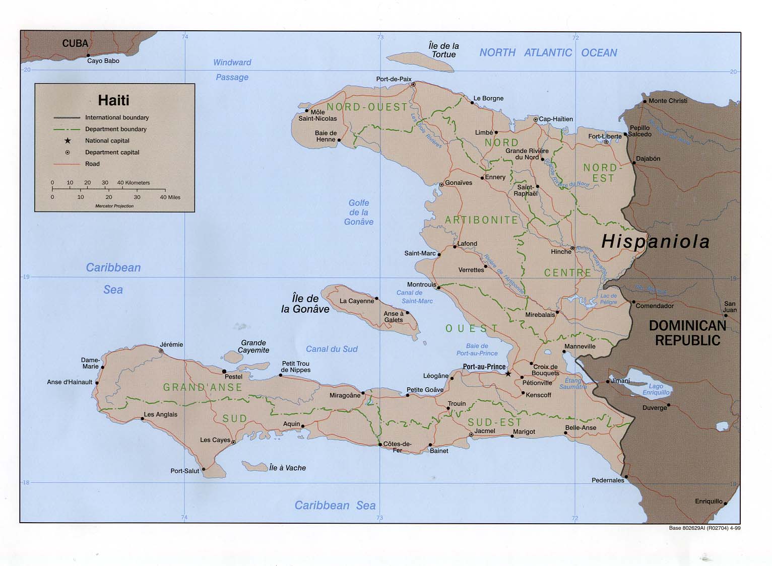
| Haiti | department | arrondissement | Stats | CIA Mgl PDF PDF | -05:00 | ||
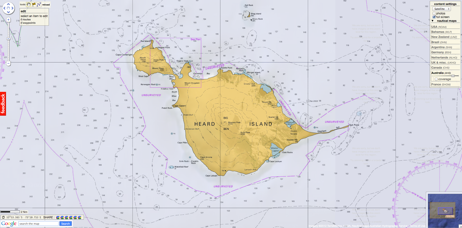
| Heard and McDonald Islands | none | Map | +05:00 | ||||
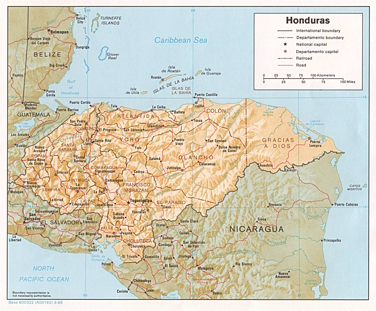
| Honduras | department | municipality | Stats Stats | Post | CIA Mgl PDF PDF PDF | -06:00 | |
| Hong Kong | district | council | Stats Stats Stats Stats | Post | +08:00 | ||
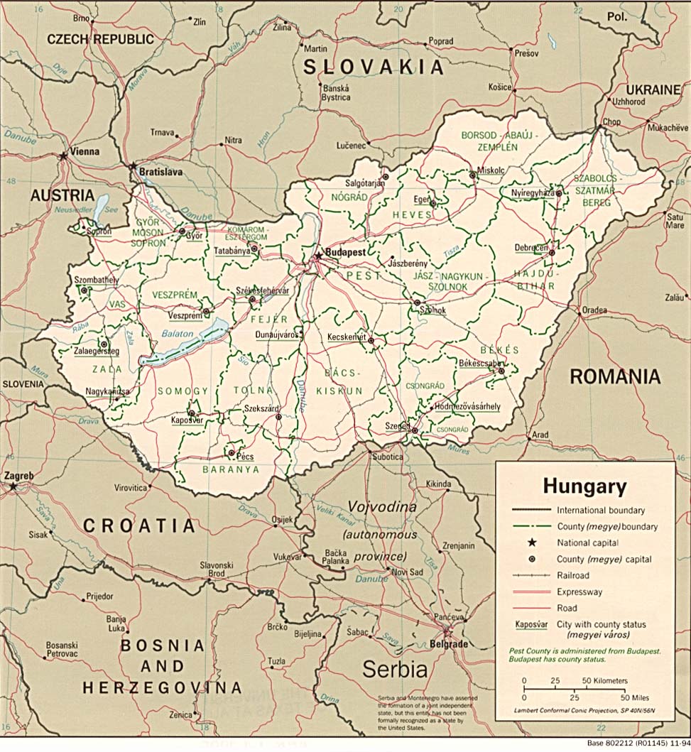
| Hungary | county | town-region | Stats Stats Stats Stats Stats | Post | CIA Mgl | +01:00 D | |
| Iceland | region | municipality | Stats Stats Stats | Post Post | Maps Mgl | 00:00 | |
| India | state | district | Stats Stats Stats Stats | Post | CIA Clik Clik Map Mgl PDF | +05:30 | |
| Indonesia | province | regency | Stats | Post | CIA Mgl PDF PDF | Zones | |
| Iran | province | county | Stats | Post | CIA Clik Clik Map Map Mgl PDF PDF | +03:30 D | |
| Iraq | province | qadha | Stats Stats Stats | CIA Map Map Mgl PDF PDF PDF | +03:00 | ||
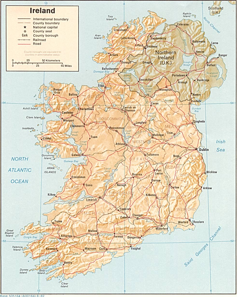
| Ireland | county | Stats Stats Stats | Post | CIA Clik Mgl | 00:00 D | ||
| Isle of Man | sheading | parish | Stats | Map Map PDF | 00:00 D | ||
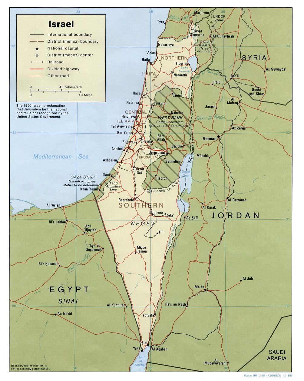
| Israel | district | subdistrict | Stats Stats | Post | CIA Mgl PDF | +02:00 D | |
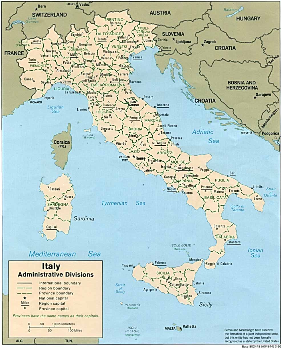
| Italy | region | province | commune | Stats Stats Stats Stats PDF | Post | CIA Mgl | +01:00 D |
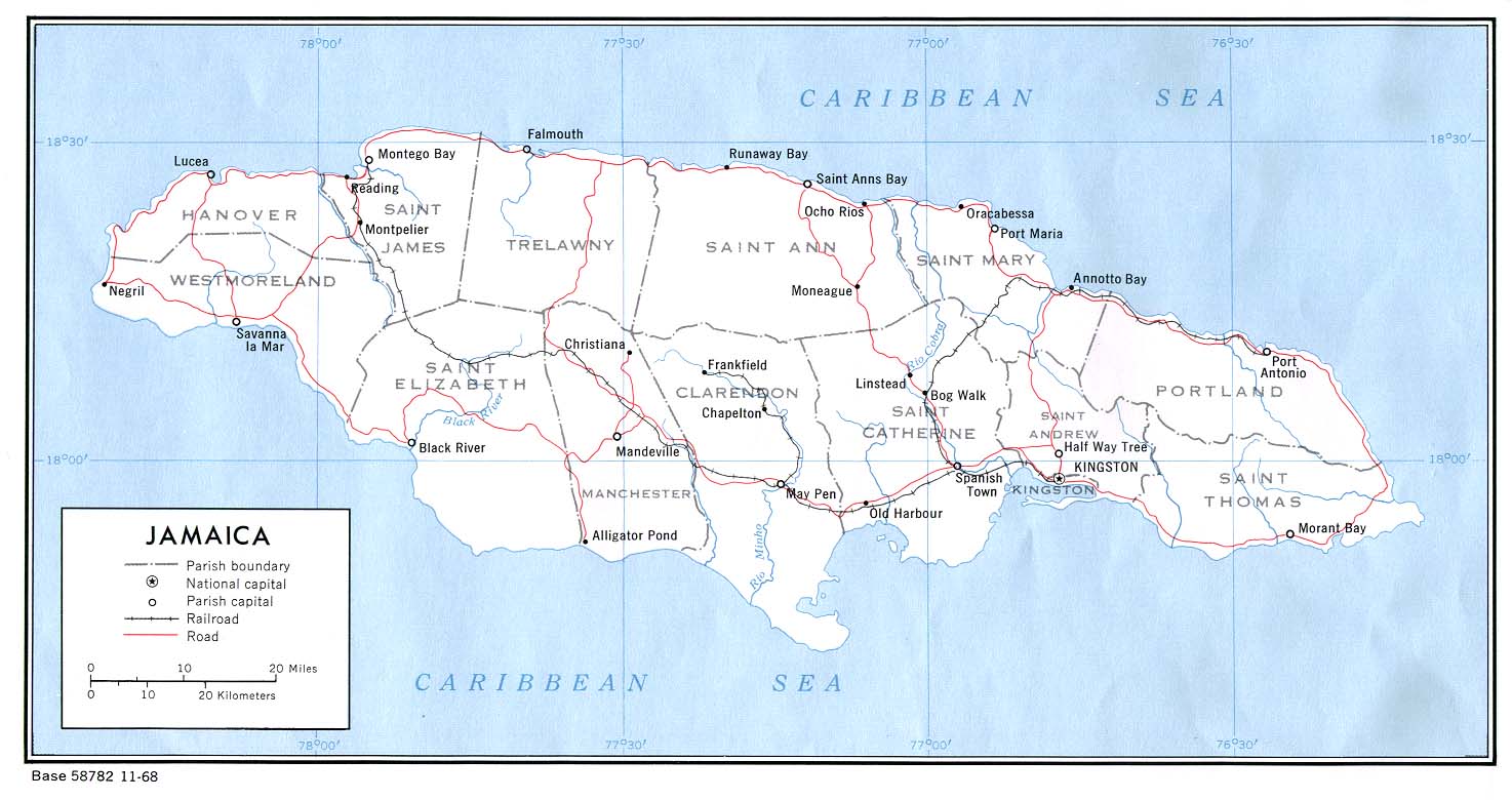
| Jamaica | parish | Stats Stats | CIA Map PDF | -05:00 | |||
| Japan | prefecture | county | Stats Stats Stats | Post | CIA Mgl PDF | +09:00 | |
| Jersey | parish | Stats | Map Map | 00:00 D | |||
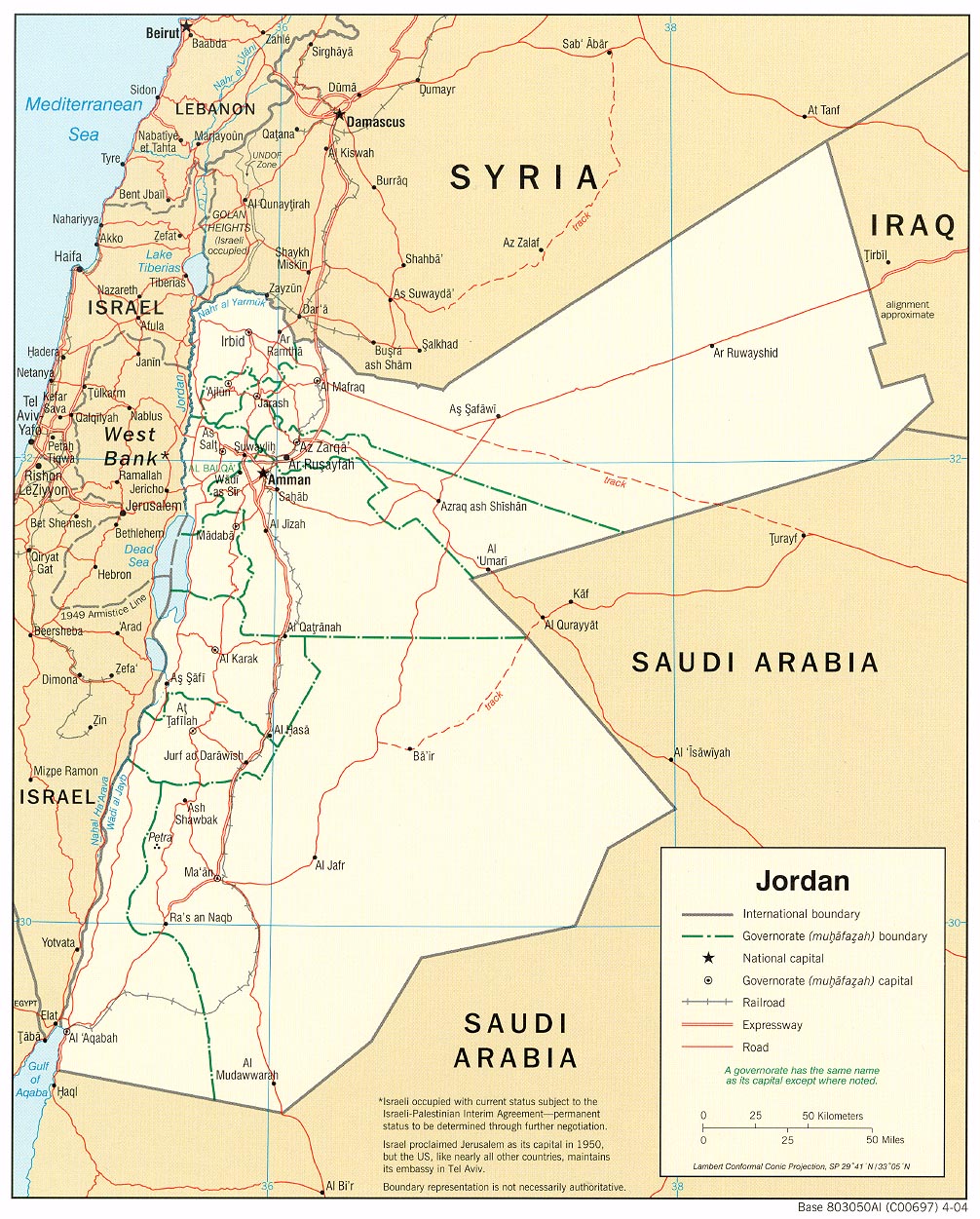
| Jordan | province | sub-district | Stats Stats | Post | CIA Mgl PDF | +02:00 | |
| |||||||
| To find links for another country, click on its initial letter here: |
|
| To find out which pages on this site have recently been updated, visit the newsletter page. |
Go ye therefore, and teach all nations. - Matt. xxviii:19a.
| Back to main statoids page | Contact me |
| Copyright © 1999-2016 by Gwillim Law. | |